Die Berliner Mauer (the Berlin Wall)
Today was my opportunity to finish the Berlin Wall route that I started on Saturday.
As a recap, this is a map of the location of where the Berlin Wall used to be:

As I discovered when doing Part 1, it is NOT the route of the Berliner Mauerweg (the official Berlin Wall cycle path).
Because it’s such a long distance (over 100 miles/160km) and it’s hard to do it at a good speed due to the terrain and also the fact that there are lots of things to stop and look at, I split the route into two.
Part 1 was a longer section, 72 miles, whose route was something like this:

Part 2, supposed to be 49 miles, is what I would be doing today. It looks like this:

I learned some things from Part 1, the main lesson being that it’s advisable to do this route clockwise as the signage seems arranged for that. The second thing I learned is that it takes ages as the paths can be very basic and it’s easy to get lost. Fortunately this time I had 24 fewer miles to do and as I set off at 9:30am I had plenty of time in hand.
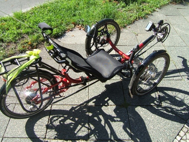
Before I left I pumped up my front right hand tyre which seemed a bit soft. The track pump was in the car (which was outside the apartment where Ken & Kenny were staying, over a mile away) and as it was in the wrong direction I couldn’t be bothered to go to the car so used my mini hand pump instead which has a rather vague pressure gauge. It looked as though the tyre was up to about 65psi which seemed like enough to be going along with.
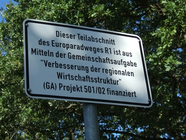
I set off on the same road I took on Saturday to get to my start point, outside Spandau on the border of Gatow. On the way I saw this sign – the Germans are proud of their cycle routes!
I was just half a mile from the point where I join the Mauerweg (Wall route) when my steering started going a bit spongy. Oh no, puncture. In the front right hand wheel, the one I had pumped up earlier.
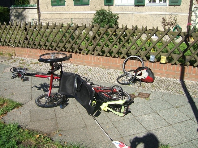
So I flipped Alfie on his side, whipped off the tyre and tube, found the hole in the tube, picked a few bits of glass out of the tyre, put a fresh tube in, repaired the old tube, pumped up the tyre and I was ready to roll.
Lots of people passed me whilst I was doing this but no-one asked if I was OK. In the UK a passing cyclist would almost always check you had everything you needed.
Still, this had only delayed me for 15 minutes and it wasn’t too much of a hassle (it wasn’t raining, for example) and I had seen a red squirrel running around a tree right by me so I was still cheerful as I set off again.
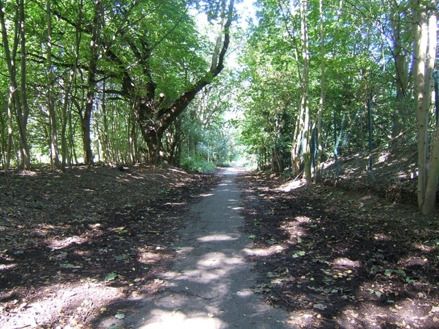
I joined the Mauerweg and almost instantly it left the roads and started off down a track. Oh no, I thought, not more off-roading, but this track wasn’t too bad.
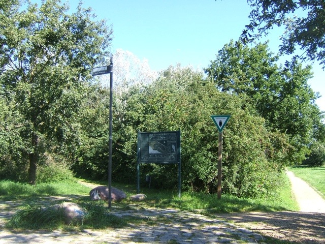
It took me through a park called Fort Hahneberg which seemed very large and had lots of people wandering around or sitting on benches, even on a Tuesday morning. The signage seemed to be working OK for me (you can see the Mauerweg sign on the left here) and was following the former route of the wall fairly closely.
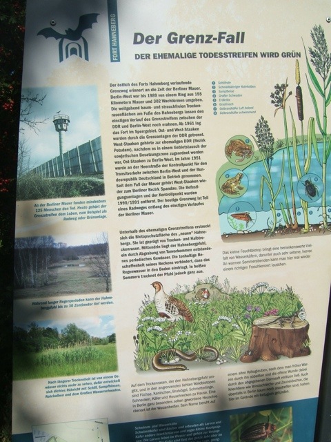
This information board explains how the former death strip has become a green wildlife haven.
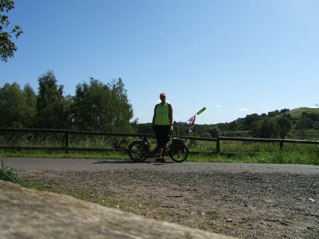
A photo of me and Alfie taken on the self-timer.
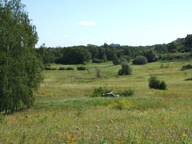
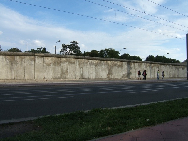
You can sort of make out where the No-Man’s-Land was in this photo – a slight ditch marks it out.
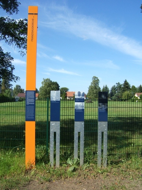
This is an example of the Wall Information Boards that you can find along the route. They mostly seem to be on the western/northern sections of the route and there seems to be one at each point where someone was killed (except in the centre of the city) as well as at many other points of interest. This one is explaining about a church which was slap-bang in the middle of the border and ended up being pulled down and rebuilt elsewhere. After reunification the new church was given this piece of land, where the old church had been, for sport and social events.
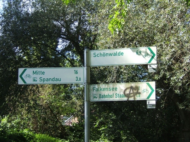
I started to get to very familiar territory now with names on road signs which I remembered from my time in Berlin in 2007. We stayed then for five weeks in Falkensee which is outside the city limits of Berlin (west of Spandau) and I used to get the train into central Berlin for my language course. The train went through Spandau, Staaken, Falkenhöh on its way to Falkensee and I was tempted to detour to visit where we stayed. However I soon remembered that the roads around there were all cobbles, plus it was several kilometres away so I decided against. Here is a cycle route sign and you can see the Mauerweg little signs as well under Schönwalde and Falkensee.
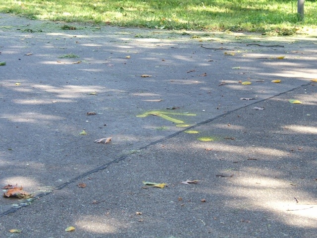
As I mentioned on the Mauer Part 1 blog, there were yellow arrows painted on the road to help you know which way to go for the Mauerweg.
These were no use to me last time as I was going anticlockwise but this time they were very helpful – in fact following the signs was fairly easy. In the whole day there were probably only 3-4 occasions where I would have got lost were it not for also having the GPS which showed me the rough direction I ought to be heading.
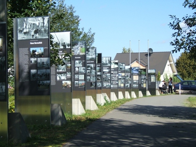
As I was pootling along through yet another bit of parkland I came across this information/memorial.
I didn’t realise at the time but this was a fascinating display and I spent probably nearly an hour here overall, reading everything and getting quite emotional at times. It had stories of people who lived in Falkensee and what it was like when the wall came up and they were cut off from West Berlin (80% of men in Falkensee worked in West Berlin so of course could no longer go to their jobs). There was loads of information on the wall going up, people trying to escape, but what was most moving was the stories about when the wall came down. People from Spandau and Falkensee, who had been separated for 28 years despite being almost next-door neighbours, welcomed each other brilliantly. The Spandau people gave money to the Falkensee people, there were fairs and special events to celebrate coming together again. There were quotes from lots of people dated 2011 (so it’s a very new installation) about life then and now.
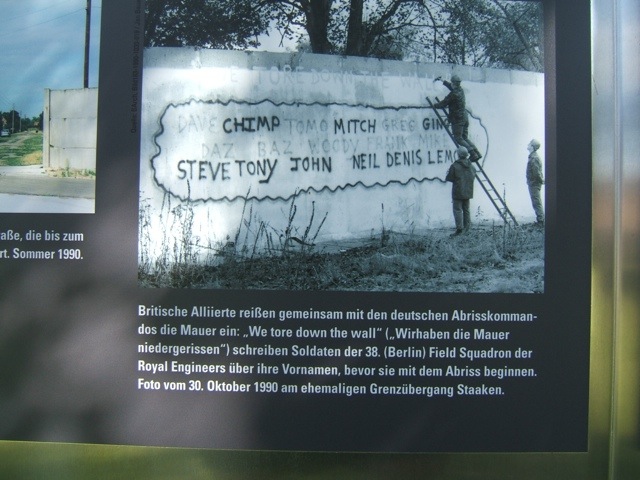
Here’s a little sample of something it said which might interest you:
The description explains this is British Soldiers from the Royal Engineers whose job it was to tear down the wall. First of all they signed all their names.
Seen from the other side the panels make out the shape of the wall between Falkensee and Spandau.
And then, once I’d read everything (it was only in German so took me a while!) I set off and discovered I was actually at the former border crossing, one of only 11 (I think) between West Berlin and East Germany. And this sign…
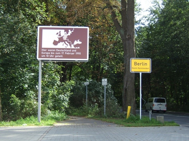
“Here Germany and Europe were divided until 13 September 1989 at 6pm.”
And here we see the border – out of Berlin and into Falkensee (which is in Havelland) – which you can just drive/cycle through.
I carried on, enjoying stopping to look at various information boards as I went. The overall route was much better this time with no appalling off-road stuff and generally reasonably asphalted surfaces. I wonder if they’ve been spending money on the Mauerweg in the Spandau/Falkensee region recently.
There were some bumpy and mucky bits of path, of course, and after one I noticed something weird on my left mudguard – photo hasn’t focused on the right thing but there’s a worm suspended from the mudguard mount! I rescued him and put him on some soil.
I learned a new English word on this bit of the tour – ‘exclave’; it’s the opposite of an enclave, and there were several of them along the lakeside. From the Berliner Mauer website: “The route through Spandau Forest brings you to the former West Berlin exclave Eiskeller. It owes its name (“icebox”) to the consistently low temperatures that made it a preferred storage area for ice cut from the lake Falkenhagener See. The exclave was connected to the Spandau borough by an access road that was only four meters wide and 800 meters long. Three families lived on farms in Eiskeller and, in the fall of 1961, the story of one 12-year-old from Eiskeller made the news far beyond Berlin…
“Continuing west on the trail will bring you to the Havel River and to the weekend communities Fichtewiese and Erlengrund. They, too, were West Berlin exclaves on the territory of the GDR. Owners needed to cross through the border installations to reach their property, using an intercom at the gate near the recreational area Bürgerablage to announce their arrival to the GDR border guards. It was not until 1 July 1988 that an exchange of territory with the GDR restored free access to these weekend properties.” I liked a photo that I saw of a woman ringing a doorbell in the wall!
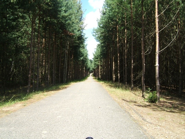
Look at this fab path!
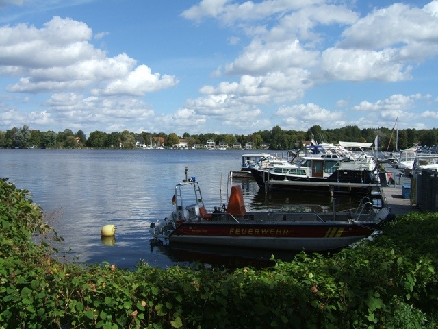
I was beginning to feel a bit peckish and hoping to stop for lunch somewhere. I found myself at a lake (the Nieder Neundorfer See) which looked rather inviting but there didn’t seem to be any food options.
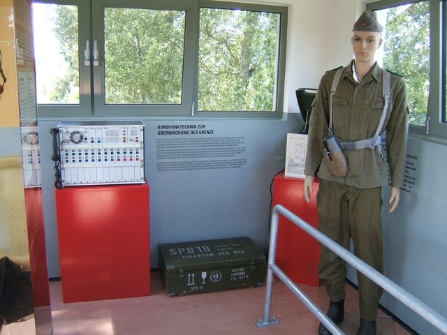
And I soon stumbled across this former watch tower which is now a mini museum.
Unfortunately in getting off my trike to go inside the museum the camera slipped in my hand and there is now a big crack across the viewing screen on the back. Fortunately it still appeared to work OK!
I went inside the watchtower. The staircase was a bit tricky! (Sorry about the fuzzy photo).
Views from the top:
Looking down at the staircase…
Another sign at another border crossing – note the different date/time that this crossing was finally permanently opened.
I carried on along a varied scenic route from Hennigsdorf to Hohen Neuendorf which brought me to the last border crossing to go into operation – shortly before the fall of the Berlin Wall – near Stolpe. The Berliner Mauer website explains: “In order to reduce the traffic load on the F5 (or B5) highway, which was no longer able to accommodate the rising traffic between Hamburg and West Berlin, the GDR built an expressway (today’s A111) from 1981 to 1982 that was paid for by West Germany. The Stolpe border crossing opened in 1982, but originally served only travellers driving from West Berlin to Scandinavia. It was also possible to enter the GDR (even for pedestrians using a shuttle bus service to the border) at Stolpe. Traffic to Hamburg, however, continued to be routed through the old Staaken border crossing on Spandau’s Heerstrasse. Construction of the West Berlin feeder road through Tegel Forest was delayed: citizens’ groups were worried about damage to the environment and had filed suit against the clearing of woodland.” The crossing was nothing now – just a bridge over the motorway with a rather mournful feeling about the place.
From here I cycled along the edge of Tegel Forest and the golf course Stolper Heide and through the “Invalidensiedlung,” a settlement built for disabled veterans of World War I, to Hohen Neuendorf in Brandenburg. I was feeling rather peckish at this time (2:30, I had been on the bike since 9:30 with no food/drink stops) so stopped at an Italian restaurant for my only proper meal not in the apartment.
Free starter of olives and bread.
Tomatencremesuppe with more bread.
Healthy chicken salad – well, it was healthy before the super-generous portion of olive oil served on it.
And another border sign, this time at Glienicke (I think!)
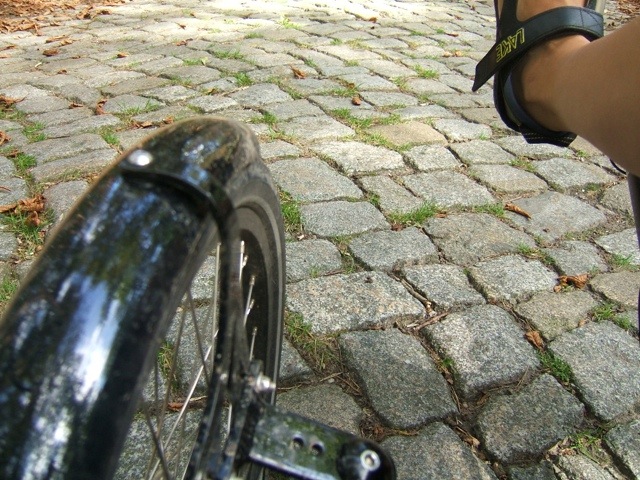
Oh dear, the radweg is now cobbles. And it continued to be cobbles for about two miles. What was doubly annoying was that my GPS showed the actual Wall had continued down the main road in the photo above, whereas our route wended its way through woodland for two miles, adding a mile and a half in total to the journey.
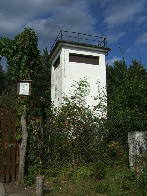
However, clearly the Wall did run somewhere near as I saw this interesting building, a former watchtower which is now a youth’s wildlife building.
From the Mauer website: “The GDR watchtower has been used by a youth organisation, Deutsche Waldjugend, since 1990 as a base for its nature conservation work. Between Hohen Neuendorf and the Bergfelde neighborhood, the border ran parallel to Utestrasse from the northern end of Frohnau’s Invalidensiedlung right through the forest. As part of the GDR’s outer border, this section was closed as early as 1952 and developed into a multi-layered border installation with walls, fences, floodlights, and a border patrol road starting in 1961. The command post built in the 1980s was used to monitor the border and, at the same time, as a control center for other observation towers, which were spaced about 500 meters apart along the border strip. Each command post was occupied by three border guards and an officer, and also had a holding cell for any “border violators” who might be arrested.”
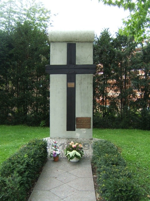
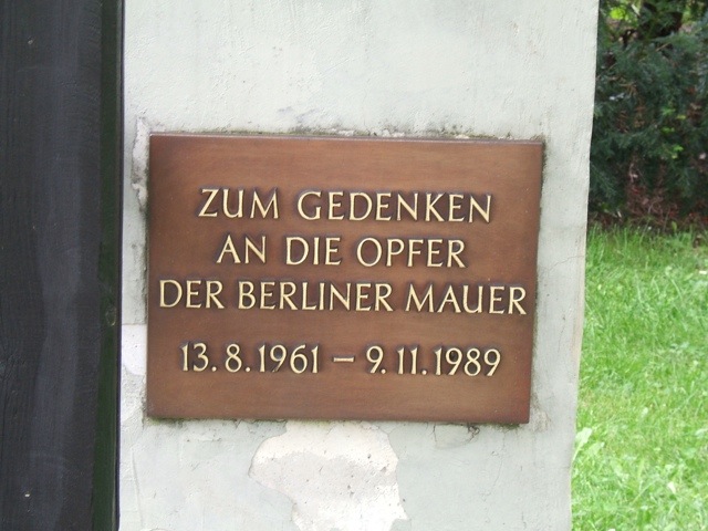
Shortly afterwards I passed this memorial to the victims of the Wall.
And then, whilst cycling through Reinickendorf (I think!) I saw this house being built. The entire gable end is one piece, suspended on a giant crane.
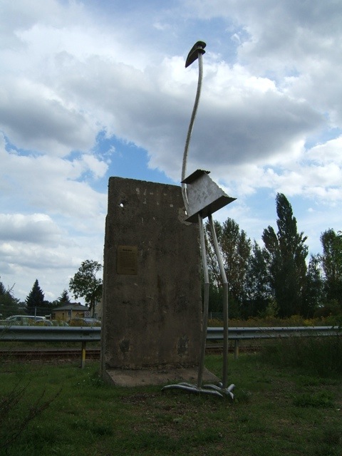
Another piece of wall sculpture – an enormous metal bird!
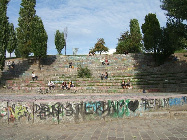
After some faffing around (I was now in the busier bit of Berlin which meant traffic lights to cross roads, etc) I ended up a Mauerpark. This is a park which is in the former area that the Wall stood. However it seems rather run down and had some slightly dodgy-looking characters in. There’s some kind of large stadium (new) and in front of it some old steps which seemed to be looking at a basketball court. I took a quick pic.
And now I found myself in Bernauer Straße, somewhere I had visited four years ago but couldn’t remember where it was!
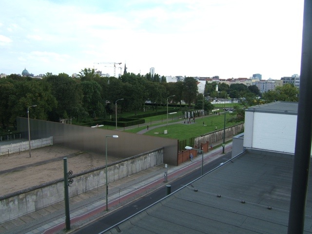
“Bernauer Strasse, which the Wall Trail follows to the Nordbahnhof S-Bahn station, achieved tragic notoriety after 13 August 1961. Dramatic escapes shocked and moved the world, which watched as desperate people attempted to climb from houses on the East Berlin side of the border to reach the sidewalk below in West Berlin. After a long section of the outer wall (“Vorderlandmauer”) on Bernauer Strasse was saved from demolition, the Berlin Wall Memorial (Gedenkstätte Berliner Mauer) was built between Brunnenstrasse and Gartenstrasse. This area, which includes the Chapel of Reconciliation (Kapelle der Versöhnung) and the Documentation Center (Dokumentationszentrum) and observation tower, is the place in today’s Berlin where it is easiest to visualize the former border installations.”
A photo at ground level.
I then climbed the observation tower to take a look.
And a view of the skyline (sorry the exposure isn’t great) with the Fernsehturm visible, as is the golden roof of the synagogue towards the right hand side.
Another old watchtower which contains the Günter Litfin memorial.
Almost back, the Reichstag peeping out over some new buildings.
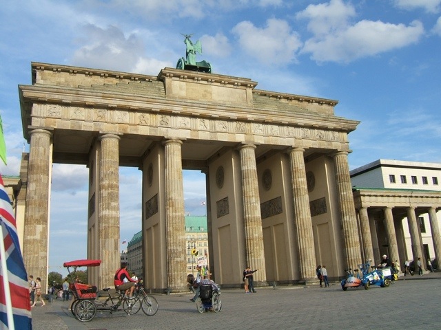
Oh look, I’m back here again! The Brandenburger Tor, which means I have now completed the whole Wall route.
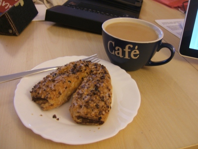
In celebration I bought myself a nut pastry thing to have when I got back at 6pm with a cup of tea!
I feel pleased that I completed the route, and also pleased that today’s route was much nicer, easier to follow and with better surfaces. I wasn’t particularly looking forward to a repeat of Saturday’s journey.
My feeling about the Wall and Berlin is that most Berliners want to forget it. There is some information here and there but mostly it’s being forgotten about (as much as it can – I think it lives on in the East Berliners’ minds quite a lot). The double row of cobbles marking the Wall route seems to not be replaced if the road is resurfaced and wasn’t visible for most of the route anyway.
My recommendation to anyone else doing this is to spread it over three days so you’ve got more time to spend looking at memorials and museums, etc. Oh, and learn German first, as although some things are also in English, an awful lot is just in German.
Overall it was a success. I have one more full day here which means I can pick a route for tomorrow. I might cycle around the Tegeler See, but I think rain is forecast so I may do something closer to home. Watch this space!
Statistics for this ride:
Distance – 50.79 miles
Time – 5 hours 59 minutes
Moving average – 8.48 mph
Average heart rate – 110
Max heart rate – 155
Maximum speed – 23.74
Calories burned – 1983










Thanks for the great post. It does indeed come as a surprise to many visitors including myself that there’s so little information available in Berlin along the wall route outside a couple of tourist spots. But on the other hand is very clear that the wall is something that people on both sides of it now want to forget.